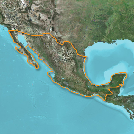
Let us be your outdoor guide in Mexico. Whether you're in the outback or on a main boulevard in the city, our highly detailed maps provide a wide array of topographic information, from terrain contours, elevations and summits to perennial and intermittent lakes, rivers and streams.
- Displays national and state park names as well as wilderness areas.
- Contains routable roads and trails so getting to your destination is easy.
- Includes searchable points of interest, such as campgrounds, geographic places and restaurants.
- Provides terrain contours, elevation information as well as summit peaks and geographic points.
- Contains hydrographic features, including perennial and seasonal lakes, rivers and streams.
- Offers 3-D terrain shading and elevation profile to help estimate terrain difficulty.
![]()
Requirements
Make sure your device is compatible with this product before purchasing.
To view and use the maps on this card, you must have a device with a microSD/SD card slot. Maps on microSD/SD cards cannot be copied or viewed on a computer.
Reduced price map updates are not available for these cards. If you want to update the maps, you must purchase a new card that includes the latest map data.
The microSD/SD card package includes a microSD card and an SD card adapter.
Coverage: